

Open Source GIS: A GRASS GIS Approach - Practical GRASS6 Guide
Open Source GIS: A GRASS GIS Approach - Practical GRASS6 Guide
Price subject to change. Tap below for current.
Couldn't load pickup availability
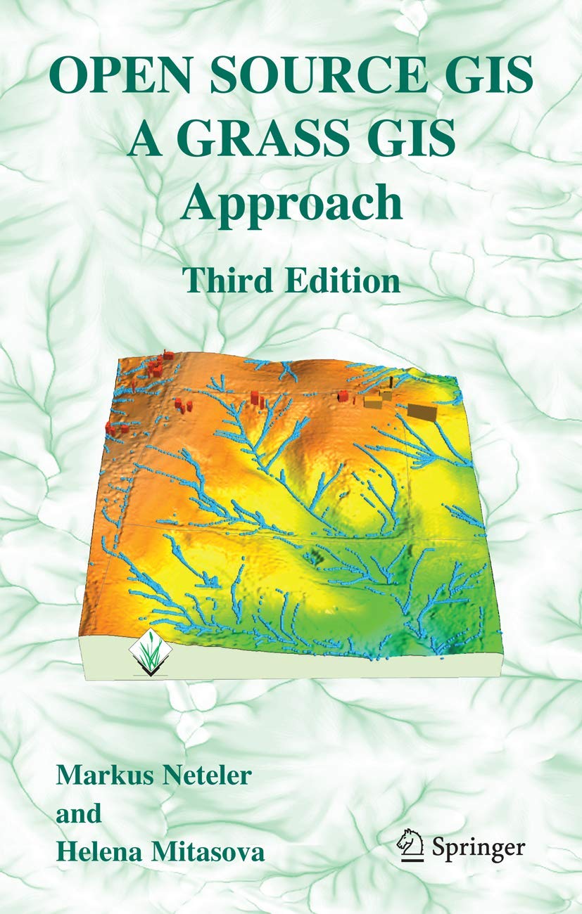
Our review of Open Source GIS: A GRASS GIS Approach finds it best for geospatial practitioners and students seeking a hands-on introduction to GRASS6 and its expanded interoperability. The third edition's single biggest reason to buy is its practical, example-driven update that reflects the GRASS6 era, including new material on attribute databases, SQL support, vector network analysis and lidar processing. Readers get a compact, focused textbook that emphasizes real workflows using an integrated geospatial data set rather than theoretical detours.
Key Features
- Updated for GRASS6: Covers the substantial new code contributions and interoperability improvements introduced with GRASS6 to help users migrate to the newer environment.
- Attribute database and SQL: Explains database management and SQL support so readers can handle attribute tables and queries within GRASS workflows.
- Vector network analysis: Provides practical examples for analyzing connected vector data, which benefits routing and network-based geoprocessing tasks.
- Lidar data processing: Introduces lidar handling techniques that let readers process and analyze elevation point clouds within the GRASS toolkit.
- New graphical interfaces: Describes updated GUI tools that make many GRASS functions more accessible without abandoning command-line power.
Who It's For
GIS students, researchers and practitioners who plan to use GRASS GIS in academic or production settings will find this edition particularly useful, as it focuses on workflows, concrete examples and data management. The emphasis on GRASS6 enhancements makes it suited to users who need interoperability with other open source and proprietary geospatial tools.
Users seeking an introductory survey of all GIS software rather than a GRASS-centered manual should look elsewhere, and those who require completely typo-free copy for classroom adoption may want to pair this book with supplementary materials because customer feedback notes mixed grammar and some typos.
Pros & Cons
Pros
- Comprehensive coverage of GRASS6 features and interoperability with practical examples.
- Clear, objective explanations of basic GIS principles that help beginners learn core concepts.
- Concrete sections on attribute databases, SQL, vector networks and lidar give immediately applicable skills.
Cons
- Customers report mixed grammar and several typos, so readers may encounter editorial rough spots.
- Focused on GRASS6 specifics, so it is not a broad primer on all GIS platforms.
Specifications
| Title | Open Source GIS: A GRASS GIS Approach |
| Edition | Third edition (updated for GRASS6) |
| Authors | Markus Neteler, Helena Mitasova |
| Key topics | Attribute database, SQL, vector networks, lidar, GUIs |
| Approach | Practical examples with a comprehensive geospatial data set |
| Audience | GIS students, researchers, practitioners |
Our Verdict
Open Source GIS: A GRASS GIS Approach is a valuable, example-driven guide for anyone adopting GRASS6 or integrating GRASS with other geospatial tools; it delivers strong practical instruction and good topic coverage. While editorial issues mean instructors may need to clarify minor typos, the content and workflows make it good value for users focused on GRASS-based projects.
Frequently Asked Questions
Does this edition cover newer GRASS6 tools?
Yes. The third edition is updated to include substantial GRASS6 code additions and new graphical interfaces.
Is there instruction on handling lidar data?
Yes. The book contains sections introducing lidar data processing and examples for working with elevation point clouds.
Is this book suitable for complete GIS beginners?
It is suitable for beginners who want hands-on GRASS training, but readers seeking a general GIS survey may prefer a broader introductory text.
Editor's Take
A practical, example-driven GRASS6 guide ideal for GIS students and practitioners who need hands-on workflows for attribute databases, vector networks and lidar, though the text has some editorial typos.

Recently viewed
Recently viewed products will appear here as customers browse the store.