

Tangible Modeling with Open Source GIS - Practical Tangible GIS
Tangible Modeling with Open Source GIS - Practical Tangible GIS
Price subject to change. Tap below for current.
Couldn't load pickup availability
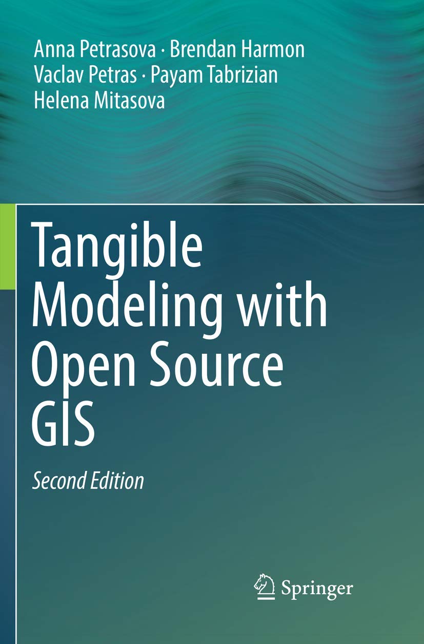
In this review of Tangible Modeling with Open Source GIS the bottom line is simple: this book is for technical users who want a practical introduction to combining physical models with open source geospatial software. It walks through a tangible user interface approach where a 3D physical landscape is scanned and linked to a rendering engine, and it explains how that setup feeds into geospatial analysis and simulation. The single biggest reason to buy is the clear, applied coverage of coupling hardware with GRASS GIS and Blender so readers can reproduce a working tangible modeling system.
Key Features
- Tangible user interfaces: Describes how multiple users can modify a 3D physical landscape model while it is scanned to provide real-time input for spatial analysis.
- Integrated workflow: Shows the data flow from physical model scanning through open source geospatial processing to visualization, making the process understandable for implementers.
- Open source tools: Focuses on practical use of GRASS GIS and Blender so readers can adopt tools without proprietary licensing barriers.
- Real-time visualization: Explains projecting images or animations back onto the physical model and producing photorealistic human views on a screen or VR headset.
- Hands-on applicability: Provides techniques and software coupling hardware and software that make the system applicable to teaching, research, and demonstration projects.
Who It's For
This book is primarily aimed at geospatial researchers, educators, and advanced practitioners in GIS and computer graphics who want to prototype or teach tangible modeling systems using open source components. It is useful to lab managers and project leads who plan multi-user physical-digital setups for simulation or visualization.
Readers who expect a pure textbook on GIS fundamentals or a beginner's introduction to Blender or VR hardware should look elsewhere; the book assumes some familiarity with geospatial concepts and software. It is not a step-by-step consumer electronics manual for hobbyists without prior GIS or 3D rendering experience.
Pros & Cons
Pros
- Concrete guidance on integrating physical models with geospatial analysis, useful for hands-on projects.
- Focus on open source tools lowers barriers to experimentation and reuse in academic settings.
- Clear description of visualization options, including projection and VR, that bridge physical and digital outputs.
Cons
- Assumes prior knowledge of GIS and 3D rendering, so novices may need supplementary resources to implement examples.
Specifications
| Title | Tangible Modeling with Open Source GIS |
| Authors | Anna Petrasova, Brendan Harmon, Vaclav Petras, Payam Tabrizian, Helena Mitasova |
| Scope | Tangible user interfaces for geospatial modeling and visualization |
| Software focus | GRASS GIS and Blender |
| Interaction | 3D physical landscape model scanned for multi-user input |
| Visualization | Projected images/animations and photorealistic screen or VR views |
Our Verdict
For GIS researchers, educators, and technicians wanting a practical route to tangible modeling, this book delivers clear, applicable guidance linking hardware scanning, open source geoprocessing, and advanced visualization. It offers strong value where reproducible, low-cost toolchains matter, though readers should be prepared with existing GIS or 3D rendering skills to get the most from the examples.
Frequently Asked Questions
Does the book teach specific software workflows?
The book explains workflows that couple GRASS GIS and Blender to physical scanning and rendering, with practical techniques for integration.
Is this suitable for classroom use?
Yes; the approach and open source focus make it suitable for lab exercises and demonstrations in advanced courses.
Will it work for single-user hobby projects?
It can inform hobby projects, but the material is geared toward multi-user and research setups and assumes some GIS or 3D experience.
Editor's Take
This book is a practical guide for GIS researchers and educators to build tangible modeling systems using GRASS GIS and Blender, offering applied workflows and open source toolchains though it assumes prior GIS or 3D experience.

Recently viewed
Recently viewed products will appear here as customers browse the store.